
Burren history in a working landscape
Burren history is visible in the relationship between limestone, farming and monuments. The open rock is not the setting of an untouched, people-free wilderness. Winter grazing helps shape the vegetation, and Poulnabrone provides evidence of much earlier human use. Reading these features together gives a fuller visit than treating the tomb as an isolated photograph stop.
The landscape also has a history far older than its human remains. Limestone formed in a tropical sea during the Carboniferous, glaciers later exposed rock, and water continues to dissolve its joints. Keep those stages distinct from the dates of burials and the founding of the national park. Our national park guide develops the geology and explains where to walk today.
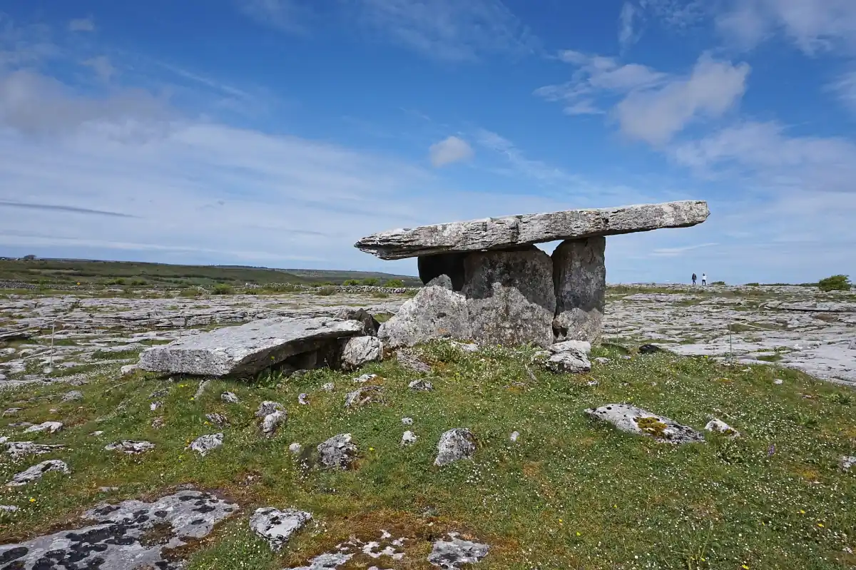
Poulnabrone dolmen and the people buried here
Poulnabrone is a portal tomb with upright supports and a large capstone. It is a protected National Monument in OPW care. Another stone behind the tomb has been interpreted as a possible second capstone. The surviving structure provides a focus for imagining the effort involved in shaping a monument, while questions about its original use leave room for interpretation.
OPW describes the remains of 33 people dated to 3800 to 3200 BC. A separate newborn burial belongs to the early Bronze Age, dated to 1750 to 1420 BC. These are dates associated with human remains, rather than a precise year when the stone structure was built. They also show why a single label such as “prehistoric” can conceal different episodes at one site.
Possible territorial marking and the movement of bones after bodies had decomposed elsewhere are interpretations discussed for the tomb. They are useful ideas to consider while looking at the monument, without turning them into certain intentions of its builders. Leave room for that uncertainty in how you understand the place: the surviving stones and burials support a story with several questions still open.
Our take: Atlantic Edge exhibition
Our take: This Limerick excursion includes the Atlantic Edge exhibition as a regional complement.
Hand-picked tours, booked through GetYourGuide. Prices are indicative starting prices in euros (as of October 2026). Tap a tour for live availability and the current price in your currency.
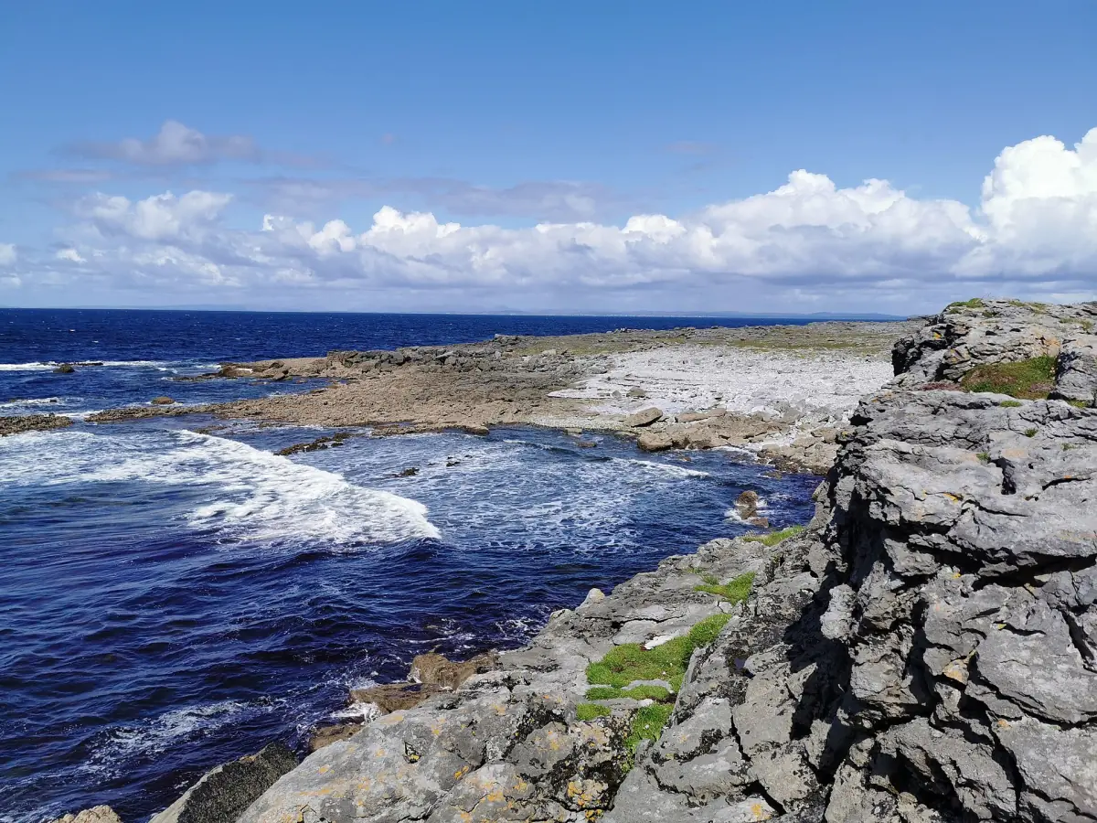
Atlantic Edge with a Limerick day excursion
Add a regional exhibition visit to your Burren reading, with transport, a guide and Cliffs admission; Poulnabrone routes are covered separately.
A regional exhibition alongside the history
The Limerick day excursion featured here includes transport, a guide, entry to the Cliffs of Moher and a ticket for the Atlantic Edge exhibition. Lunch is extra. It offers a regional visitor experience to place alongside independent reading about the Burren. The exhibition ticket is the relevant inclusion, rather than a promised specialist archaeological walk.
For a vehicle route with an explicitly named Poulnabrone visit, turn to the private tours page, where the different routes are explained. Keep the monument visit, a general day excursion and a dedicated history interpretation separate when deciding what you want from the day. The sights guide can help combine that choice with a cave or a village stop.
Visiting and protecting Poulnabrone
The tomb is listed as an unaccompanied site. Approach with care and respect the barriers around the monument. Protected status and open-air access do not invite climbing, touching or entering the burial chamber. Leave the stones as you find them, so another visit can be about the same surviving structure rather than the effects of visitor contact.
The gravel approach is uneven, with limited wheelchair suitability. Plan for the surface as well as the distance from your transport. A monument stop is also a place to slow down and look at how the capstone, supports and surrounding pavement sit together. Use the arrival guide for the wider road journey without assuming that arrangements at other attractions apply here.
Winterage and continued land use
Winterage is the practice of winter grazing described by NPWS as part of managing the Burren landscape. Grazing leaves vegetation short in spring and helps support varied flowering. That connection makes farming central to what visitors see, rather than a separate activity hidden behind the scenery. The flowers, grass and exposed limestone belong to a landscape still being used.
Respect that work while exploring. Follow marked paths and use existing stiles rather than climbing walls. Close gates and avoid disturbing animals. Public access on a named route is not permission to enter every adjacent pasture. These practical habits protect both the farming activity and the features that make the wider Burren worth visiting.
Earth history and the different rocks of the cliffs
Glacial action and the chemical work of rainwater both contributed to the exposed limestone landscape. The Cliffs of Moher have a different geological story: repeated sandstone, siltstone and mudstone layers formed in an ancient delta environment. They should not be described as simply a taller version of the bare limestone pavement around Poulnabrone.
Look at rock and fossils without removing them. A photograph preserves the memory of a detail while leaving the place intact, and precise fossil locations should not be shared publicly. For a coastal visit, read the Cliffs guide, including the restrictions on the coastal path. Historical interest is a reason to observe carefully, not a reason to cross barriers or continue onto closed ground.
Questions about your visit
When was Poulnabrone built?
The dates 3800 to 3200 BC refer to human remains reported by OPW. They should not be converted into an exact construction date for the tomb.
Is the Burren an untouched wilderness?
Farming, including winter grazing, helps shape the vegetation and flowering seen today.
Does the exhibition excursion visit Poulnabrone?
Its stated inclusions cover the Cliffs of Moher and Atlantic Edge exhibition. For routes naming Poulnabrone, see the private tours page.